Magnitude 7.8 earthquake strikes off Sarangani on June 8, 2026
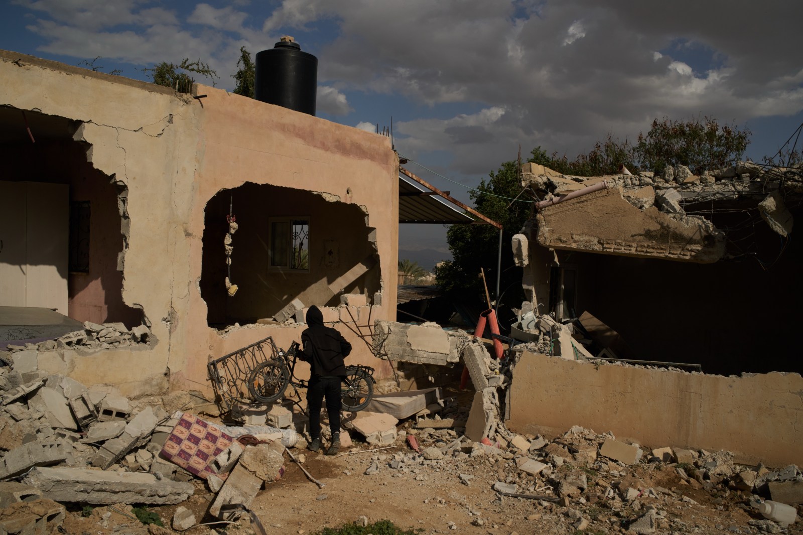
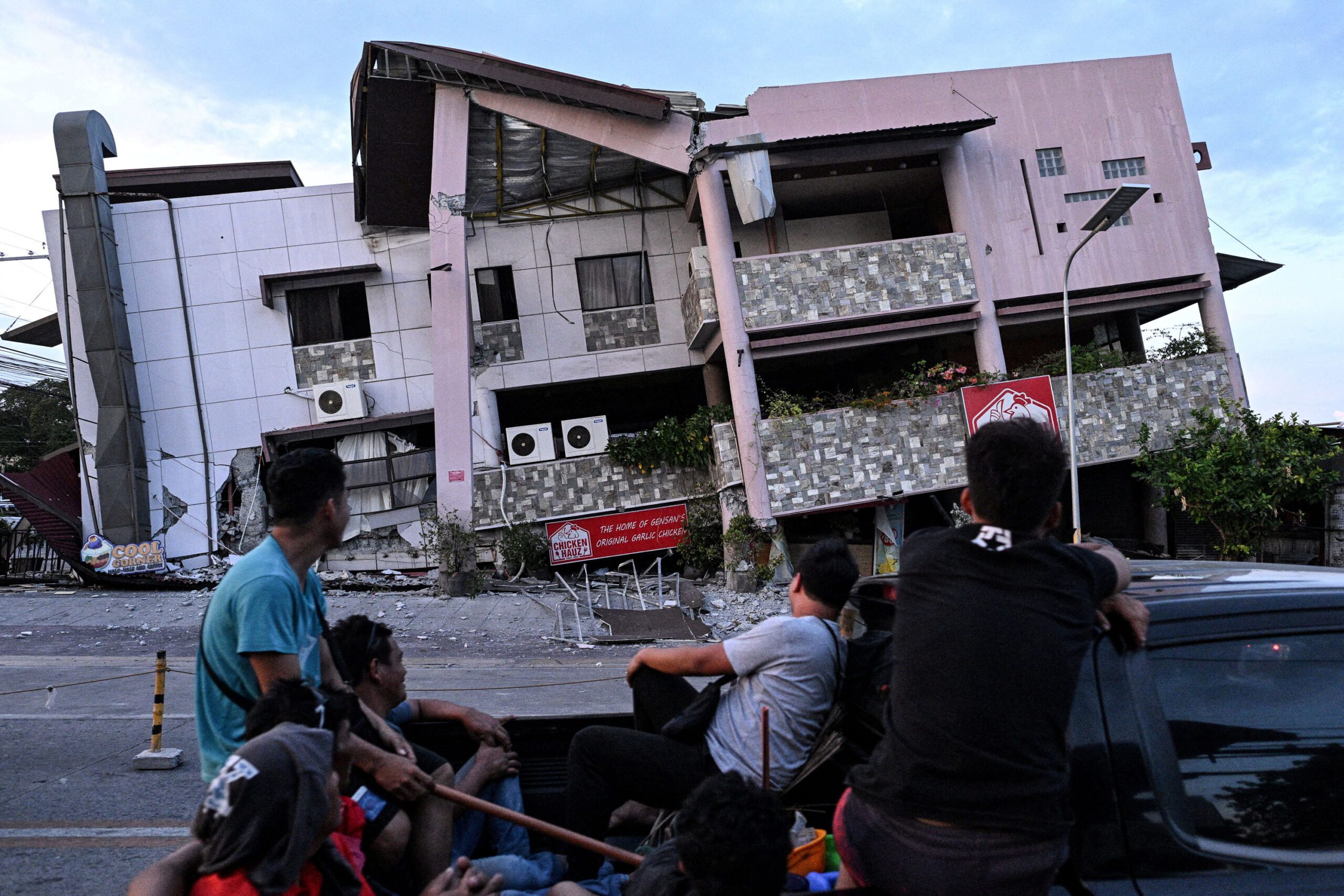
A magnitude 7.8 earthquake struck off the coast of Sarangani province on June 8, 2026, killing at least 45 people across Mindanao and triggering a tsunami warning. The tremor caused strong ground shaking in multiple provinces and prompted class suspensions as the new school year began.
 Rappler
A magnitude 7.8 earthquake struck off the coast of Sarangani province on June 8, 2026, causing strong ground shaking across Mindanao and triggering a tsunami warning. At least 45 people have been reported dead as of June 10, including 18 in Sarangani, 15 in South Cotabato, 11 in Davao Occidental, and one in Davao del Sur.
The earthquake coincided with the opening of public school classes for the 2026-2027 school year, leading to immediate class suspensions and evacuations in the region.
Geographic context The Philippines lies along the Pacific Ring of Fire, where the Pacific Plate meets surrounding tectonic plates, according to the Philippine Institute of Volcanology and Seismology and the U.S. Geological Survey. This location creates numerous active faults and trenches capable of generating strong earthquakes.
Earthquake damage depends on factors including depth, local geology, population density, and construction quality, the United Nations Office for Disaster Risk Reduction states.
Earlier major earthquakes A magnitude 7.8 earthquake struck Luzon on July 16, 1990, creating a 125-kilometer ground rupture and killing 2,412 people. A magnitude 7.2 earthquake hit Bohol on October 15, 2013, killing 222 people and damaging over 79,000 structures.
A magnitude 7.0 earthquake struck northwestern Luzon on July 27, 2022, killing 11 people and causing P2.6 billion in infrastructure damage. A magnitude 6.9 earthquake hit Cebu on September 30, 2025, killing at least 81 people. Doublet earthquakes of magnitudes 7.4 and 6.8 struck off Davao Oriental on October 10, 2025, killing at least 10 people and causing P143 million in infrastructure damage.