Severe Weather Alerts Issued for Midwest and Great Plains Through Tuesday
Residents from north-central Oklahoma to western Wisconsin face possible tornadoes, large hail and damaging winds through Tuesday. More than 30 million people are under alert for severe weather on Monday.
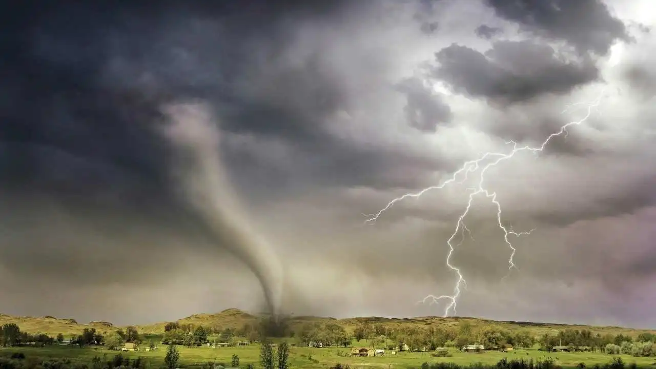
foxnews.comResidents in parts of the Midwest and Great Plains are bracing for another day of severe weather threats, including possible tornadoes, damaging winds and large hail. The severe weather, expected to extend into Monday and Tuesday, is forecast to be especially active from north-central Oklahoma up into Minnesota and western Wisconsin.
The greatest risk areas, a level 3 out of 5 enhanced risk according to the National Weather Service, stretch from east-central Nebraska up to southwest Minnesota and include the cities of Sioux Falls, South Dakota, and Grand Island, Nebraska. Large hail, damaging winds and tornadoes are possible in the enhanced risk area.
The new severe weather threats come a day after storms across the central part of the country prompted reports of tornadoes in Iowa, Kansas and Nebraska, and hail the size of baseballs in Kansas, Missouri, Iowa and Nebraska. Thunderstorms near Concordia, Kansas, on Saturday produced estimated wind gusts of 90 mph, knocking down trees and power lines.
Hill City Airport in northwest Kansas reported wind gusts up to 82 mph. The strong winds also fueled dust storms in the area, which threatened driving conditions. Thunderstorms on Saturday night prompted a flash flood emergency in central Grundy County, Missouri, including the city of Trenton, when six to eight inches of rain fell in a matter of hours.
On Monday, more than 30 million people from the central Plains to the Midwest are expected to be on alert for a potential outbreak of severe weather. A level 4 out of 5 moderate risk advisory has been issued for parts of central and northeast Kansas into far southeast Nebraska, including the city of Topeka, Kansas.
The risk for the area includes potentially strong tornadoes, hail larger than baseballs, and destructive winds. A level 3 out of 5 enhanced risk advisory also extends from north-central Oklahoma into central Wisconsin, including the cities Wichita, Kansas; Kansas City, Missouri; Omaha, Nebraska; and Des Moines, Iowa.
On Tuesday, a level 2 out of 5 slight risk advisory for severe weather is expected to stretch from northeast Texas to Michigan, and include potentially strong to severe thunderstorms.
Plains and Southeast are also expecting critical fire weather conditions to continue into this week amid widespread warm, dry and windy conditions. Several wildfires broke out in parts of Minnesota on Saturday and rapidly grew. The largest Minnesota wildfire, the Flanders Fire in Crow Wing County, has burned more than 1,100 acres and was 0% contained on Sunday morning, prompting evacuation orders in the city of Crosslake.
The Minnesota fires prompted officials to declare a state of emergency Sunday morning, including mobilizing the state's National Guard. Dozens of wildfires also broke out over the weekend across the Great Plains from Montana to the Dakotas, as well as in Texas and New Mexico over the last week.
On Sunday, the greatest wildfire threats are in areas of northwest Texas, including Amarillo, and parts of New Mexico and Kansas. Red-flag fire danger warnings have also been issued from Arizona to southern Nebraska, as well as in California's Central San Joaquin Valley.
Severe to extreme drought conditions exist in some of the red-flag warning areas, where expected wind gusts topping 55 mph threaten to rapidly spread wildfires. The extreme fire weather danger will continue into Monday in parts of far eastern New Mexico, far southeast Colorado, far southwest Kansas, parts of Oklahoma and the Texas panhandle.
Meanwhile, a big warm-up is expected for most of the East, where afternoon temperatures on Sunday and Monday are forecast to reach the 80s and 90s in many places. The temperature in New York City is expected to reach the mid-80s on Monday and could hit the lower 90s in Washington, D.C. It will be even hotter on Tuesday for a large swath of the I-95 corridor, with highs in the 90s from Washington, D.C., to Philadelphia and New York City.
Key Facts
Story Timeline
4 events- Saturday
Storms produced tornadoes in Iowa, Kansas and Nebraska and baseball-sized hail in four states.
1 source@ABC - Saturday night
Thunderstorms triggered a flash flood emergency in central Grundy County, Missouri.
1 source@ABC - Sunday morning
Officials declared a state of emergency and mobilized the National Guard in Minnesota.
1 source@ABC - Monday
More than 30 million people from the central Plains to the Midwest are expected to be on alert.
1 source@ABC
Potential Impact
- 01
Evacuation orders remain in effect for Crosslake, Minnesota due to the Flanders Fire.
- 02
Power lines and trees may be damaged by strong winds in the enhanced risk area.
- 03
Driving conditions could be affected by dust storms in parts of Kansas.
Transparency Panel
Related Stories
The GuardianWHO Chief Visits DRC as Ebola Death Rate Reaches 30-50%
World Health Organization director-general Tedros Adhanom Ghebreyesus arrived in the Democratic Republic of the Congo to support containment of a new Ebola outbreak. The agency revised the death rate to 30-50% based on confirmed cases and recorded 10 confirmed and 223 suspected d…
westernjournal.comGreek National Charged in UK With Aiding Iran-Linked Intelligence Service
A 46-year-old Greek man living in Germany was charged under the UK National Security Act with assisting an intelligence service believed to be Iran by targeting a journalist at Iran International.
straitstimes.comJournalists in Gaza to Receive 2026 Golden Pen of Freedom Award
Three international news agencies will accept the award on behalf of their local staff still reporting from the territory. The World Association of News Publishers cited the journalists' continued coverage under extreme conditions.