Winter Storm Warning Issued for Parts of Northern and Central California
A winter storm warning is in effect for elevated areas in northern and central California, including parts of the Sierra Nevada, through 11 p.m. on April 12, 2026. The warning forecasts 12 to 18 inches of additional snow above 4,500 feet and up to 2 feet at higher peaks, with winds gusting to 45 mph. Mountain travel is discouraged due to slick road conditions.
 Usa Today
A winter storm warning covers parts of northern and central California, including the West Slope Northern Sierra Nevada and Western Plumas County/Lassen Park above 4,500 feet, as well as the cities of Chester, Blue Canyon, and Quincy. The National Weather Service issued the alert for snowy conditions expected to continue through April 12, 2026, and into the night.
Additional snow accumulations of 12 to 18 inches are forecast above 4,500 feet, with up to 2 feet possible at the highest peaks, and 2 to 4 inches down to 4,000 feet.
Winds could gust as high as 45 mph during the storm, according to the National Weather Service. m. local time on April 12, 2026. The Sacramento office of the National Weather Service stated that mountain travel is highly discouraged due to slick road conditions.
Recent Snowfall and Forecast This additional snowfall follows accumulations from the previous day in higher elevations of the state.
The UC Berkeley Central Sierra Snow Lab at Donner Pass reported nearly 8 inches of snow on April 11, 2026. The lab described the snow as wet and dense and forecasted 18 to 36 inches more over the night of April 11 and throughout April 12. The National Weather Service initially issued a winter storm watch for the Sierra Nevada on April 10, 2026, anticipating moderate to heavy snowfall over the weekend.
The forecast for that period indicated up to 4 feet of snow in certain Sierra Nevada regions, along with wind gusts up to 45 mph. These conditions build on weekend weather patterns in northern California.
Broader Weather Context Northern California experienced other severe weather over the weekend, including potential thunderstorms, brief heavy rain, erratic winds, hail up to 1 inch in diameter, and a small chance of weak tornadoes.
Thunderstorms, lightning, and flooding occurred in areas such as the Sacramento Valley. These events occurred alongside the ongoing mountain snow. In contrast, other parts of the United States are forecast to see warmer weather during the week of April 13, 2026.
Regions in the Mid-Atlantic and Southeast could experience temperatures in the upper 80s from April 14 to April 16, 2026. This shift highlights varying weather patterns across the country. The winter storm warning affects travel and outdoor activities in the specified mountain areas, where road conditions may remain hazardous.
Residents and travelers in the region should monitor updates from the National Weather Service for any changes to the forecast. No injuries or major disruptions have been reported as of April 12, 2026.
Story Timeline
3 events- April 12, 2026
Winter storm warning issued for parts of northern and central California through 11 p.m., forecasting 12-18 inches of snow above 4,500 feet.
1 sourceUsa Today - April 11, 2026
UC Berkeley Central Sierra Snow Lab reported nearly 8 inches of snow and forecasted 18-36 inches more over the day and night.
1 sourceUsa Today - April 10, 2026
National Weather Service issued winter storm watch for Sierra Nevada, anticipating up to 4 feet of snow and 45 mph winds.
1 sourceUsa Today
Potential Impact
- 01
Mountain travel discouraged due to slick roads and low visibility from snow and winds.
- 02
Increased risk of avalanches in higher elevations from wet, dense snow accumulation.
- 03
Potential delays or closures on highways in affected Sierra Nevada areas.
- 04
Residents in Chester, Blue Canyon, and Quincy advised to limit outdoor activities.
- 05
Flooding possible in lower areas from melting snow combined with weekend rain.
Transparency Panel
Related Stories
 NASA Johnson Space Center / Wikimedia (Public domain)
NASA's Artemis II Completes First Manned Moon Mission Since 1972, Sets Distance Record
NASA's Artemis II mission completed a flight around the moon and splashed down in the Pacific Ocean on Saturday. The mission marks the first manned moon mission since 1972 and set a record for the furthest humans have travelled into space at 252,756 miles (406,771km). Meanwhile,…
 Science News
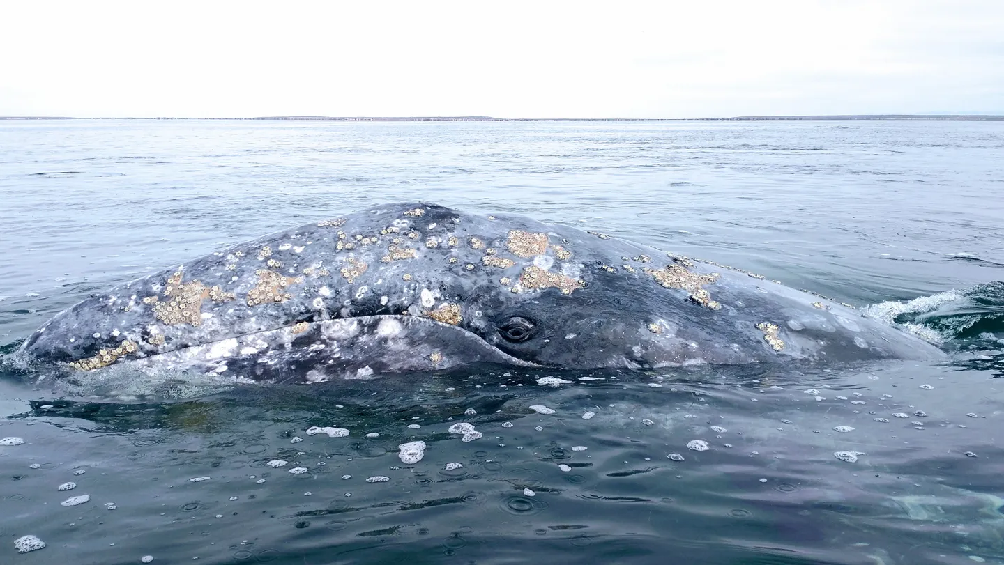
Nearly 1 in 5 Gray Whales Entering San Francisco Bay Die There, Study Finds
Researchers report that approximately 18 percent of photo-identified gray whales visiting San Francisco Bay from 2018 to 2025 died after entering the area. The deaths, often from vessel strikes, coincide with a population decline linked to reduced Arctic food availability. The fi…
 Stat
StatSpyre Therapeutics' SPY001 Drug Meets Primary Goal in Phase 2 Ulcerative Colitis Trial
Spyre Therapeutics announced positive results from the first batch of data in its Phase 2 SKYLINE study for SPY001, an experimental treatment for ulcerative colitis. The drug achieved a 9.2-point decrease in disease activity and induced remission in about 40% of participants afte…