Commercial satellite images have improved Ukraine drone strike speed and precision
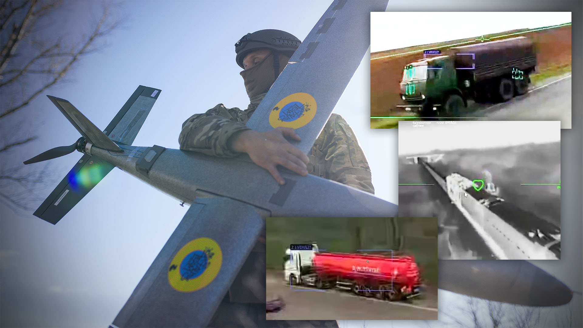
Images from commercial satellites operated by Colorado-based Vantor have increased the speed and precision of Ukraine's drone attacks over the past six months. The data show faster targeting cycles and higher strike accuracy against Russian positions.
 france24.com
Commercial satellite imagery from Colorado-based Vantor has reduced the time required for Ukrainian drone units to locate and strike targets. The images supply updated coordinates that allow operators to adjust flight paths in real time and confirm damage after each strike.
Technical improvements Vantor satellites pass over the same areas multiple times per day, delivering higher-resolution photos than earlier commercial sources. Ukrainian forces have integrated the new feeds into existing drone-control software, shortening the interval between target identification and launch.
Operational results Strike success rates have risen while the number of aborted missions has fallen, according to battlefield reports reviewed by the company. The same imagery has also been used to map Russian air-defense positions, enabling Ukrainian units to select lower-risk approach routes.