science
Lake Powell at 23% Capacity as Colorado River Runoff Projected at Record Low
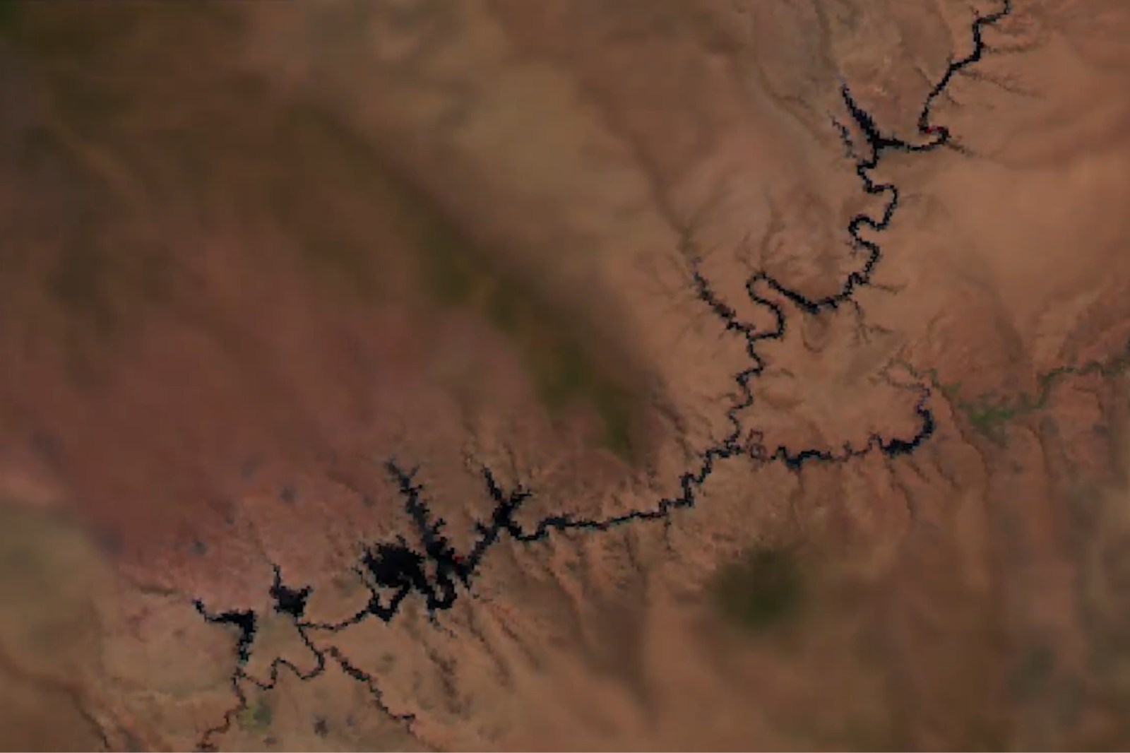
A time-lapse using NOAA satellite imagery from 2012 to 2026 depicts more than a decade of declining water levels at Lake Powell. Federal forecasters project the reservoir will receive only 13 percent of typical April-to-July runoff this year, the lowest on record since its creation in 1963.
May 13, 9:29 AM·2m read1 source
 Newsweek
Audio version
Tap play to generate a narrated version.
Developing·Limited corroboration so far. This page will refresh as more sources emerge.
A newly released time-lapse of Lake Powell highlights more than a decade of falling water levels, using imagery captured by NOAA’s JPSS satellites between 2012 and 2026. The footage shows the lake’s shorelines gradually receding amid persistent drought on the Colorado River, where Lake Powell lies.
Federal forecasters project the reservoir will receive only 13 percent of its typical April-to-July runoff this year.
This marks the lowest on record since Lake Powell’s creation in 1963. NOAA stated that this year’s spring and summer runoff into the lake is projected to be the lowest ever recorded, according to NOAA’s Colorado Basin River Forecast Center. As of Sunday, Lake Powell was 23 percent full, with storage levels at 39 percent of average for the date, according to USBR data.
Federal water managers had already cautioned that sinking reservoir levels could imperil hydropower production at Glen Canyon Dam, whose turbines are fed by water from the lake. Officials announced plans last month to release water from the upstream Flaming Gorge Reservoir while reducing downstream releases to Lake Mead.
The water-release plan was intended to prevent Lake Powell from dropping to critical thresholds.
The system also includes Lake Mead, the country’s largest reservoir. U.S. Bureau of Reclamation attributed the situation to the combination of the lowest snowpack on record and record-breaking March heat.
Newsweek reported that the move followed what the bureau called the combination of those two factors, which worsened drought conditions across the basin. The Colorado River has been grappling with long-term drought. The Colorado River irrigates more than 5 million acres of farmland and supplies water to 40 million people across the West.