world
Satellite Images Show Damage in Rafah's Al-Shabura Neighborhood
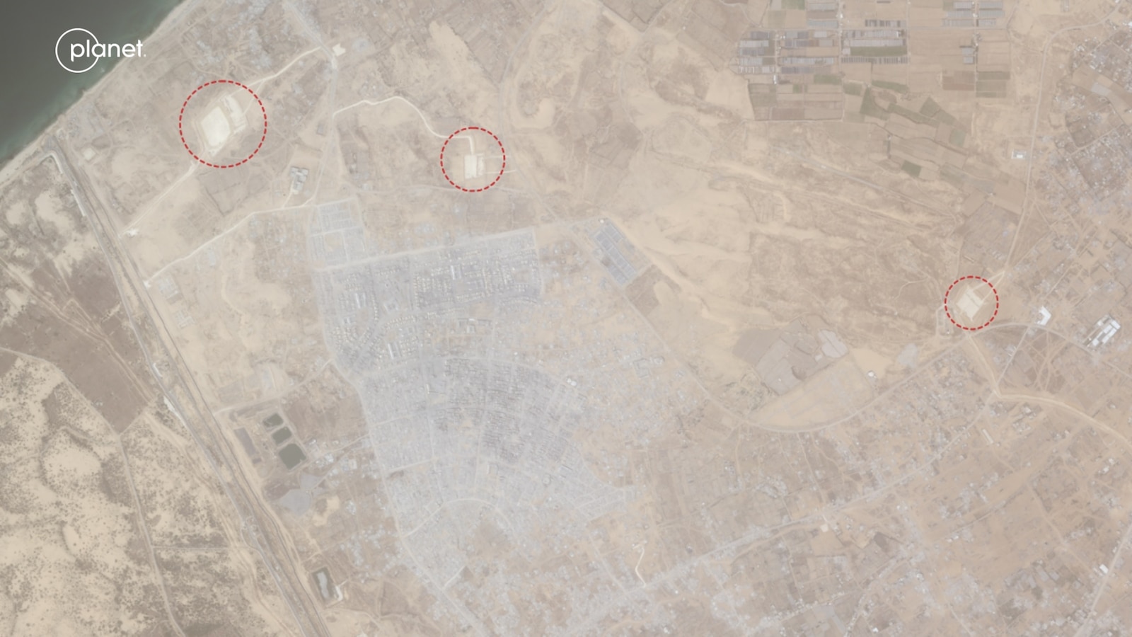
Before-and-after satellite imagery depicts changes to the Al-Shabura neighborhood in southern Gaza's Rafah area. The images document the extent of physical alteration in a previously built-up residential zone.
May 25, 8:58 AM·1m read1 source
MA
 abcnews.go.com
Audio version
Tap play to generate a narrated version.
Developing·Limited corroboration so far. This page will refresh as more sources emerge.
Satellite imagery released on social media shows the Al-Shabura neighborhood of Rafah before and after recent events. The images compare a densely populated residential area with its current state. The visuals indicate that structures across multiple blocks have been reduced or removed.
The comparison covers a section of southern Gaza that had contained housing and local infrastructure. No additional details on timing, parties involved, or casualty figures were included in the post. The post did not cite an imagery source or provide coordinates for the affected blocks.
Transparency
How sources framed this
MA
MA
Single source — no framing comparison available.
CorroborationLimited · 1 source