science
Scientists find frozen layer under Peru volcano
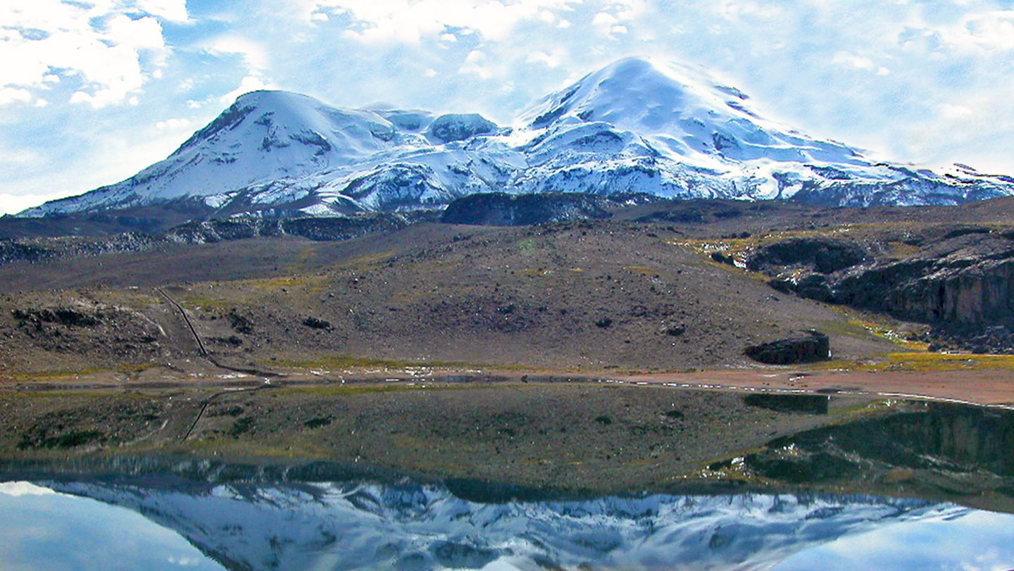
Researchers mapped a 15-to-20-meter-thick permafrost layer on Nevado Coropuna. The ice sits two to four meters below the surface at roughly 5,000 meters elevation and may extend across surrounding high terrain.
 Science News
Audio version
Tap play to generate a narrated version.
Developing·Limited corroboration so far. This page will refresh as more sources emerge.
A layer of frozen ground 15 to 20 meters thick lies two to four meters below the surface on the upper slopes of Nevado Coropuna, Peru’s tallest volcano. Researchers used ground-penetrating radar and vertical electrical sounding to locate the ice at about 5,000 meters elevation.
The team reported the findings May 26 in Permafrost and Periglacial Processes. They said the full extent remains unmapped but suspect similar frozen layers exist across the wider area.
Water source as glaciers shrink Most communities in the arid region currently draw water from glaciers that are rapidly retreating. The researchers noted that permafrost water resources are becoming more important as glacier supplies decline. They stated the volume of ice stored in the permafrost appears substantial, though smaller than permafrost deposits in colder regions such as Canada and Russia.
Research methods and next steps Fieldwork required carrying equipment up steep slopes because the area lacks surface water needed for electrical measurements. The researchers plan to use electric resistivity tomography to map the permafrost more precisely around Coropuna.
They said the presence of permafrost at this elevation suggests additional frozen layers may exist at comparable heights nearby.


