technology
University of Cambridge Researchers Use Satellites and AI to Map Hedgehog Habitats
Researchers at the University of Cambridge are applying satellite imagery and an AI tool called Tessera to identify hedgehog habitats across the UK. The project aims to track landscape changes and barriers that affect hedgehog movement and survival.
May 18, 7:04 PM·1m read1 source
 bbc.co.uk
Audio version
Tap play to generate a narrated version.
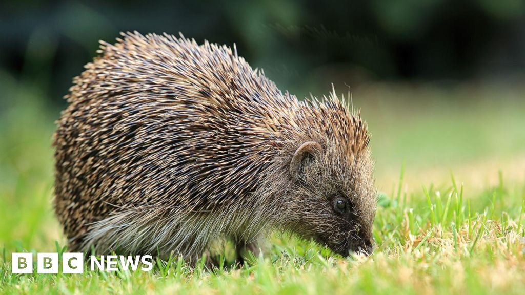
Researchers at the University of Cambridge are using satellite data and an AI tool called Tessera to map hedgehog habitats in the UK. The system analyzes detailed images from space to locate areas where hedgehogs live and to detect where those habitats are disappearing.
The maps show landscapes at a fine level of detail, including individual hedgerows. AI is also used to predict suitable hedgehog locations even when cloud cover obscures direct satellite views.
Project researchers hope the data will reveal barriers that prevent hedgehogs from reaching food sources and mating areas. The maps can also track how new housing developments and other environmental changes affect hedgehog habitats over time. The satellite outputs can be combined with movement data from small GPS trackers attached to some hedgehogs.
A similar tracking project using backpack-style devices is already operating in Northern Ireland.
The Tessera system was trained on approximately 20 petabytes of data, equivalent to 10 billion standard digital photos. Researchers added extra processors under their desks after reaching the university's computing limits and later secured additional infrastructure through a deal with US tech firms AMD and Vultr.
More than 100 research groups have accessed the open-source tool. It can also be used to monitor farmland and track crop types across UK fields. "Satellite data is really complicated to use and really noisy, because you have to do things like cloud removal and adjust for day and night, and so on," Anil Madhavapeddy said.
"Tessera compresses loads of that data and gives us really easy-to-use maps of the UK, where we can ask really specific questions about things we can see from space.